


Aerial Mapping of Critical Minerals Begins
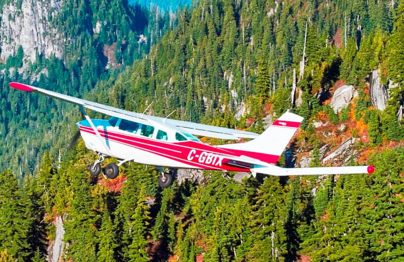
An aircraft equipped with magnetic and radiometric sensors has begun flying over the Llano Uplift in the Texas Hill Country to locate graphite and other critical minerals, including tantalum, niobium, and tungsten. The survey is a collaborative project between the U.S. Geological Survey's Earth Mapping Resources Initiative (Earth MRI) and the Texas Bureau of Economic Geology.
The aircraft departed from Llano Municipal Airport and will conduct flights through December. The flight path covers Blanco, Burnet, Gillespie, Kerr, Kimble, Lampasas, Llano, McCulloch, Mason, Menard, and San Saba Counties. Jamey Jones, science coordinator for Earth MRI, stated that the initiative aims to identify resources essential for modern life.
Jones compared the current search for critical minerals to the Gold Rush of the 1800s, noting that the scope involves many more essential resources than gold alone did during that historical period. The data collected from these flights will also assist in groundwater mapping by identifying faults and rock formations capable of carrying water.
Paladin Exploration Eyes Mine Revival
Dallas-based Paladin Exploration has expressed interest in the outcomes of the survey, indicating a potential plan to revive a former graphite mine it owns in Burnet County. The company's co-founder and CEO, Dakon Montgomery, stated that reviving the site could inject at least $100 million into the Burnet economy during phase one.
Montgomery estimated that the revived operation would employ roughly 200 people on the production side. The former Southwestern Graphite Mine was the United States' last flake graphite mine, covering about 10 acres over an 80-year operational history before closing in 1979.
Montgomery attributed the closure of the Southwestern Graphite Mine to geopolitical factors involving China's focus on critical minerals. The current aerial survey seeks to determine if similar deposits remain viable for extraction under modern economic and strategic conditions.