


Major Geographic Blunders at Global AIDS Conference
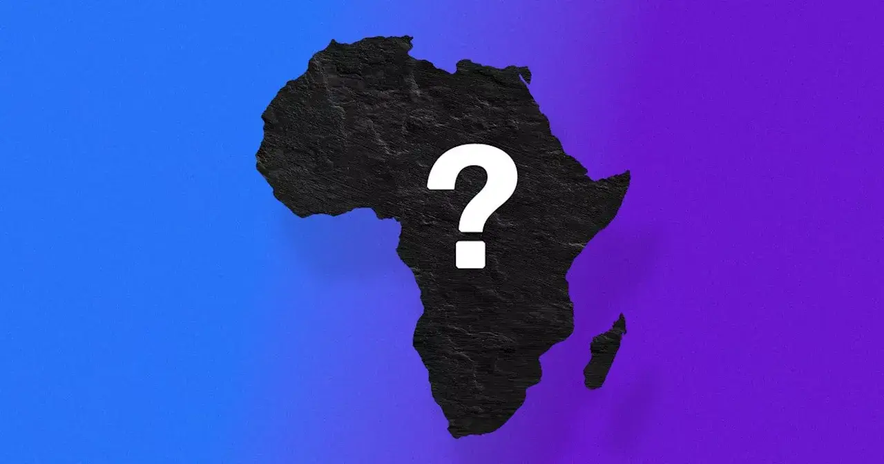
US State Department officials presented a digital visualization of the African continent to an audience during the global AIDS 2026 conference in Brazil. The event, which took place this week, specifically on July 31, 2026, according to reports from futurism and other news aggregators, featured a map intended to illustrate regions where the United States could commit vital health funding resources. However, this visual aid quickly drew attention for its profound and widespread geographical inaccuracies, which became immediately apparent to observers present and those reviewing footage of the event.
The display was not merely an isolated error; descriptions circulating online following the incident confirmed that every single country highlighted on the map was either mislabeled or drastically misplaced. This cartographical display stood in stark contrast to established geopolitical boundaries and recognized international geography prior to 2026.
Nigeria's Sahara Placement and Mozambique's Shift
Among the most striking errors was the depiction of Nigeria, Africa's most populous nation, as a country located deep within the Sahara Desert. Its actual position is along the Gulf of Guinea in West Africa. This specific misplacement positioned the West African economic powerhouse squarely in the arid interior of North Africa, a region geographically distinct and thousands of kilometers from its true location. Such a fundamental error could significantly mislead discussions regarding regional health initiatives and resource allocation.
Further compounding the errors, Mozambique, a nation situated in Southeast Africa with an extensive Indian Ocean coastline, was shown positioned within the Horn of Africa. This region is home to countries like Somalia and Ethiopia, making Mozambique's depicted location a significant geographical distortion that could confuse discussions about regional health initiatives and diplomatic engagements.
Distorted Borders and Landlocked Nations
The inaccuracies extended beyond mere misplacement to fundamental distortions of national boundaries. Uganda, a landlocked country in East Africa, was shown with incorrectly drawn borders that did not align with its internationally recognized territorial extent. Similarly, Malawi, another landlocked nation in Southeast Africa, appeared with boundary lines that were significantly altered from its actual shape and size relative to its neighboring states.
Perhaps one of the most glaring errors involved the nation officially known as the Ivory Coast (Côte d'Ivoire). This West African nation, known for its significant coastline along the Gulf of Guinea, was depicted on the map as an entirely landlocked country. Such a misrepresentation not only distorts basic geography but also fundamentally alters the perceived economic and strategic realities of the nation, which relies heavily on its maritime access for trade and connectivity.
AI Generation Suspected in Map's Creation
The source of these extensive geographical errors quickly became a point of inquiry. The digital presentation contained clear indicators suggesting that the map was not the product of human cartography but rather artificial intelligence generation. An AI watermark, reportedly embedded within the image data itself, was observed on the displayed map.
OpenAI Watermark Points to Automated Design
Technical analysis available in reports covering the incident indicated that this watermark strongly suggested the visualization was generated using a model from OpenAI. This attribution points to a reliance on generative AI tools, which are capable of producing complex visual representations but, in this instance, appear to have done so without adequate human verification of geographical accuracy. The presence of such a watermark raises questions about the protocol for creating and vetting visual aids, especially those used in high-stakes diplomatic and policy discussions.
Lack of Vetting for Critical Visual Aids
The comprehensive nature of the errors, affecting every labeled country and distorting multiple borders, suggests a significant lapse in the review process for the presentation materials. For a document intended to guide the allocation of health funding by the US State Department, the absence of basic geographical accuracy is particularly problematic. It underscores a potential over-reliance on automated systems without the necessary human oversight to ensure factual correctness in sensitive international contexts, where precision and respect for national sovereignty are paramount.
Diplomatic Implications for US Health Funding
The presentation of an erroneous map by US State Department officials at a major international conference carries significant diplomatic implications, particularly concerning the credibility of American engagement with African nations on critical health issues. Accurate geographical representation is fundamental to effective international relations and aid programs.
Conference Context: AIDS 2026 in Brazil
The global AIDS 2026 conference serves as a crucial forum for international collaboration on HIV/AIDS prevention, treatment, and research. Held in Brazil, it brings together policymakers, scientists, activists, and government representatives from around the world to discuss strategies for combating the global epidemic. Within this context, the US State Department's presentation was meant to outline American commitment and potential funding allocations, making the accuracy of its visual aids paramount to demonstrating respect and understanding for the regions discussed.
Africa has historically been at the forefront of the global AIDS epidemic, and accurate geographical and demographic understanding is fundamental to effective health interventions and resource distribution across the continent. Misrepresenting the continent's geography could undermine the very goals of the funding discussions and potentially strain diplomatic ties with the affected nations.
Unaddressed Errors During Live Presentation
Reports from the event on July 31, 2026, indicate that attendees and observers present at the Brazil venue immediately noted the extensive errors. Despite the apparent nature of these inaccuracies, no immediate correction or explanation was provided by the US State Department representatives during the live event itself. As of available reports, no official response from the US State Department has been publicly recorded immediately following the presentation. This lack of immediate acknowledgment or rectification during a high-profile international gathering could be perceived as a failure of diligence and attention to detail, potentially impacting diplomatic relations and the effectiveness of future collaborations on global health initiatives.